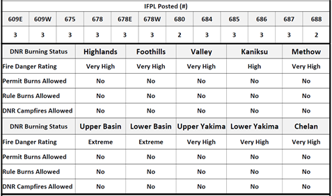
…HOT AND DRY WIND WEDNESDAY AFTERNOON AND AGAIN THURSDAY AFTERNOON FOR MUCH OF CENTRAL AND EASTERN WASHINGTON…
…HOT AND DRY WIND WEDNESDAY AFTERNOON AND AGAIN THURSDAY AFTERNOON FOR MUCH OF CENTRAL AND EASTERN WASHINGTON…
…RED FLAG WARNING IN EFFECT FROM 1 PM WEDNESDAY TO 11 PM PDT THURSDAY FOR WIND AND LOW RELATIVE HUMIDITY FOR WASHINGTON COLUMBIA BASIN…PALOUSE…AND SPOKANE AREA…
The National Weather Service in Spokane has issued a Red Flag Warning for wind and low relative humidity, which is in effect from 1 PM Wednesday to 11 PM PDT Thursday. The Fire Weather Watch is no longer in effect.
Affected Area: Fire Weather Zone 673 East Washington Northern Columbia Basin (Zone 673) and Fire Weather Zone 674 East Washington Palouse and Spokane Area (Zone 674).
Winds: Southwest 10 to 15 mph with gusts to 25 mph. Localized gusts as high as 35 mph on the Waterville Plateau.
Relative Humidities: 7 to 14 percent Wednesday and in the valleys and 14 to 19 percent Thursday.
Impacts: Increased wind and low relative humidity will potentially increase fire spread potential of new or existing fires.
PRECAUTIONARY/PREPAREDNESS ACTIONS…
A Red Flag Warning means that critical fire weather conditions are either occurring now….or will shortly. A combination of strong winds…low relative humidity…and warm temperatures can contribute to extreme fire behavior.
…RED FLAG WARNING IN EFFECT FROM 1 PM WEDNESDAY TO 11 PM PDT THURSDAY FOR WIND AND LOW RELATIVE HUMIDITY FOR WASHINGTON COLUMBIA BASIN…PALOUSE…AND SPOKANE AREA…
The National Weather Service in Spokane has issued a Red Flag Warning for wind and low relative humidity, which is in effect from 1 PM Wednesday to 11 PM PDT Thursday. The Fire Weather Watch is no longer in effect.
* Affected Area: Fire Weather Zone 673 East Washington Northern Columbia Basin (Zone 673) and Fire Weather Zone 674 East Washington Palouse and Spokane Area (Zone 674).
* Winds: Southwest 10 to 15 mph with gusts to 25 mph. Localized gusts as high as 35 mph on the Waterville Plateau.
* Relative Humidities: 7 to 14 percent Wednesday and in the valleys and 14 to 19 percent Thursday.
* Impacts: Increased wind and low relative humidity will potentially increase fire spread potential of new or existing fires.
PRECAUTIONARY/PREPAREDNESS ACTIONS…
A Red Flag Warning means that critical fire weather conditions are either occurring now….or will shortly. A combination of strong winds…low relative humidity…and warm temperatures can contribute to extreme fire behavior.
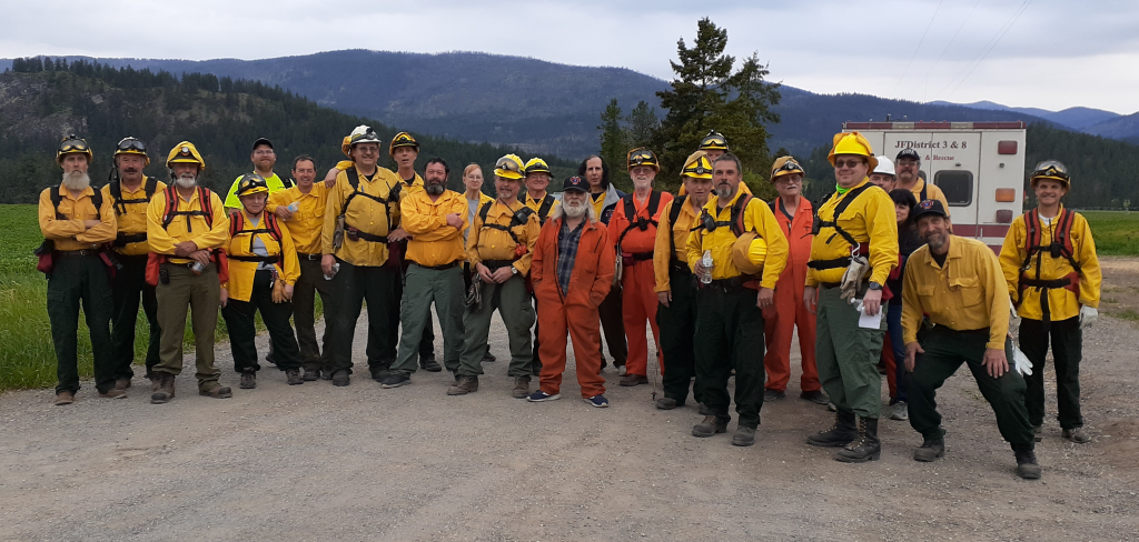
6:00 pm: Red Card Refresher Class
–
April 10, 2017
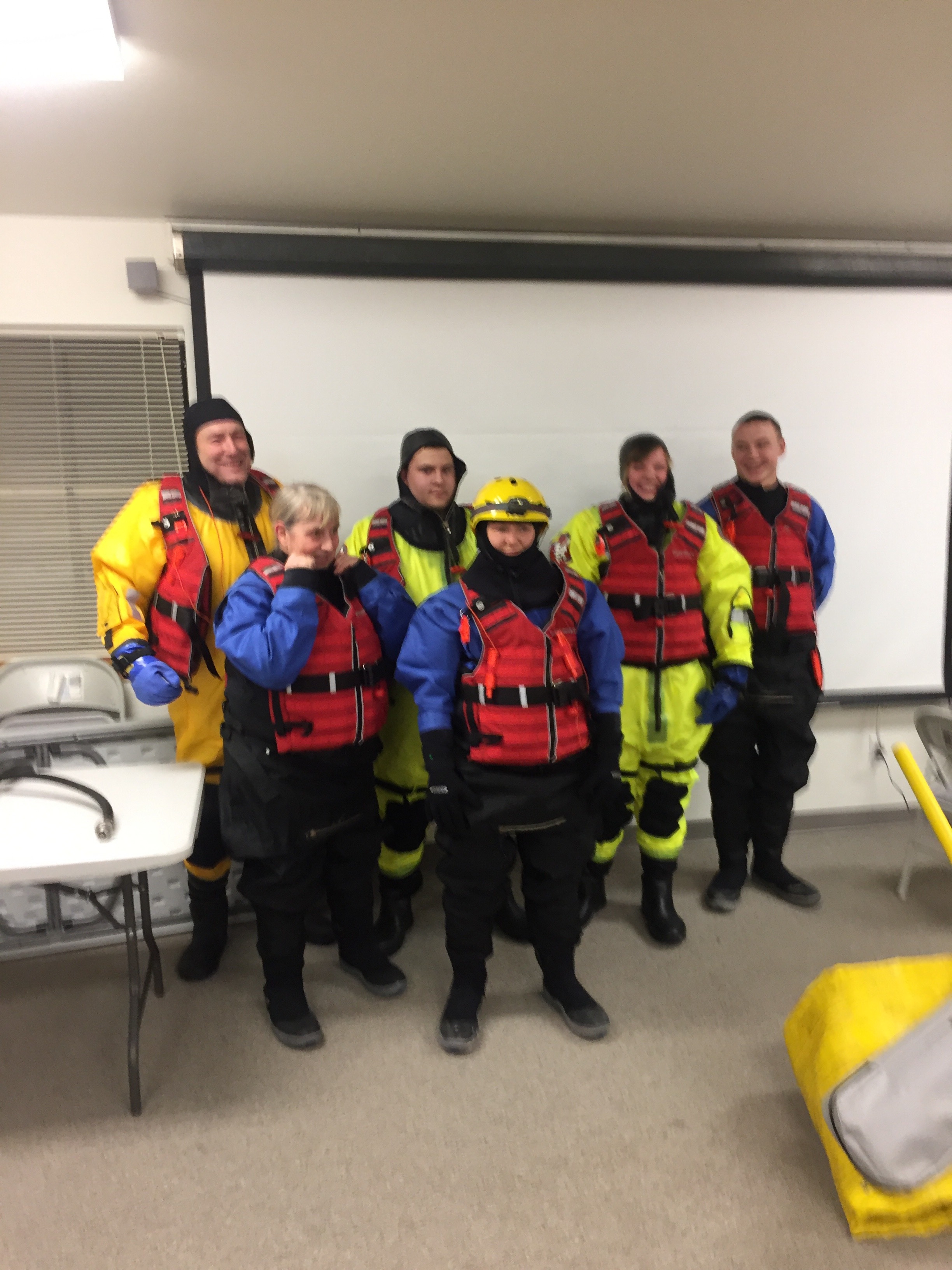
April 10th Red Card refresher class (At Training center 18:00) (Full PPE)
